
Next-Generation Lidar Traffic Monitoring Sensor
Overview
Our new Lidar-based traffic monitoring sensor delivers highly accurate, real-time insight into traffic flow — without intrusive infrastructure or external power requirements. Designed for modern mobility management, the sensor combines precision, reliability, and operational simplicity in a single compact solution.
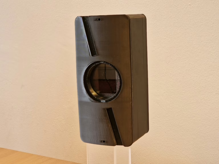
ORBIS LiDAR characteristics
High-Accuracy Traffic Intelligence
Using advanced Lidar technology and onboard processing, the sensor accurately:
- Classifies vehicles across multiple categories
- Measures vehicle speed in real time
- Counts vehicles per lane and per direction
Multi-Lane Performance Without Compromise
Unlike traditional radar or video-based systems, the Lidar sensor provides precise spatial resolution. This enables reliable detection and tracking of individual vehicles across multiple lanes simultaneously, even in dense or complex traffic scenarios.
Fully Autonomous Power Options
The sensor is engineered for flexible deployment:
- Operates on long-life batteries
- Supports solar power for fully autonomous operation
- No trenching, cabling, or grid connection required
This makes the solution ideal for temporary measurements, remote locations, or rapid deployment scenarios.
Designed for Modern Traffic Management
Key benefits include:
- Non-intrusive installation
- Weather-resilient performance
- Low maintenance requirements
- Secure data output for integration with traffic management systems
Scalable, Reliable, Future-Proof
Whether used for traffic studies, infrastructure planning, smart city applications, or continuous monitoring, the Lidar sensor provides trusted data that supports informed decision-making — today and in the future.